
3DEXPERIENCE GEOVIA
Efficiently Design, Plan, and Optimize Mining Operations and Urban Centres
Experience the Power of GEOVIA on the 3DEXPERIENCE platform
GEOVIA on the 3DEXPERIENCE platform offers mining companies, engineers, geoscientists, and urban planners a comprehensive, real-time view of their work activity and ecosystem, and seamlessly connects individuals, ideas, data, and solutions within a single collaborative and interactive environment.
3DEXPERIENCE GEOVIA empowers you to assess a project’s value before breaking ground, enabling you to design and optimize it — well before construction begins. And it provides you with the tools you need to analyze and embed the sustainability of your operation, centralize and manage all your data, and work with colleagues from anywhere in the world.
The Virtual Twin Advantage
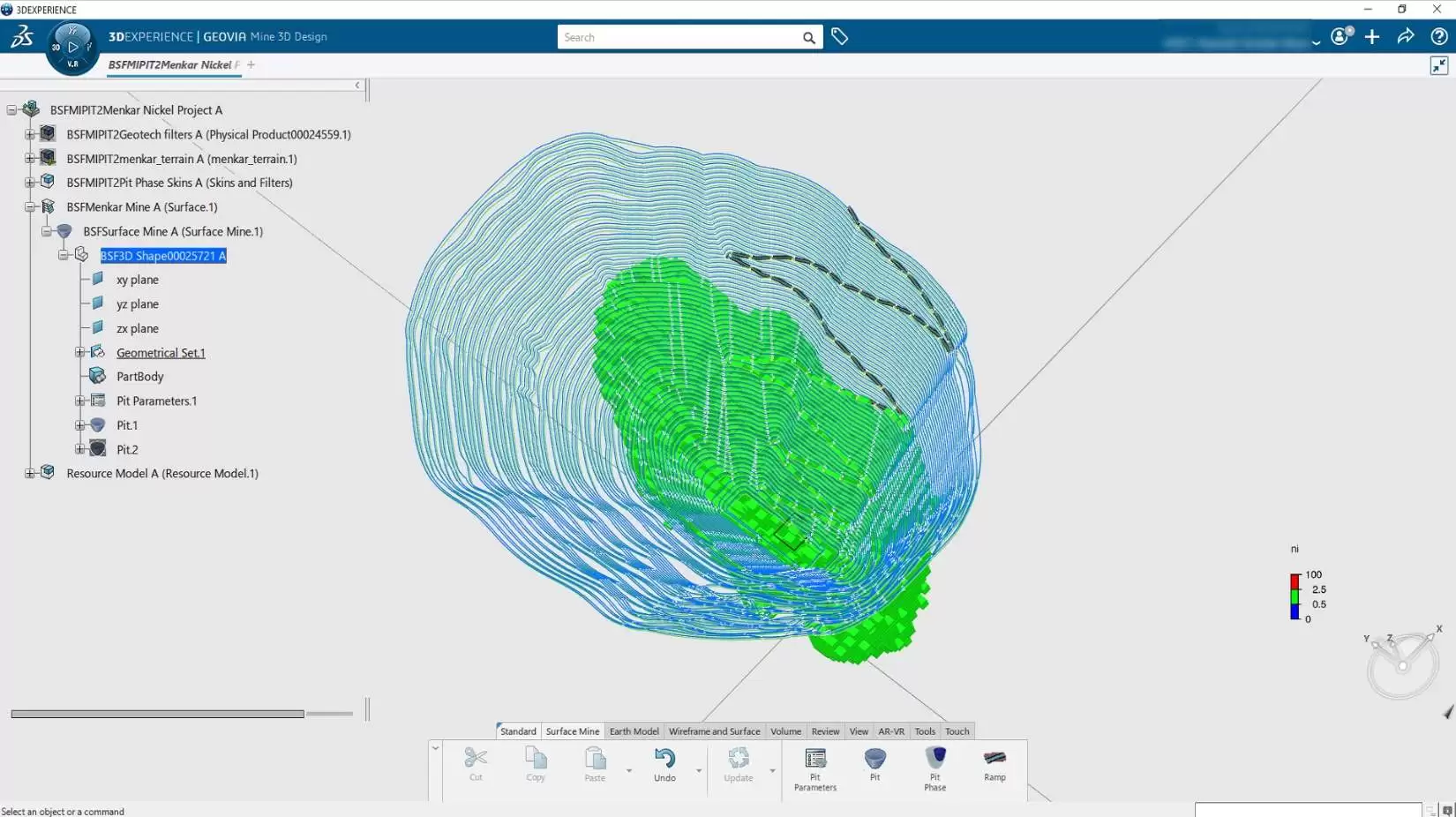
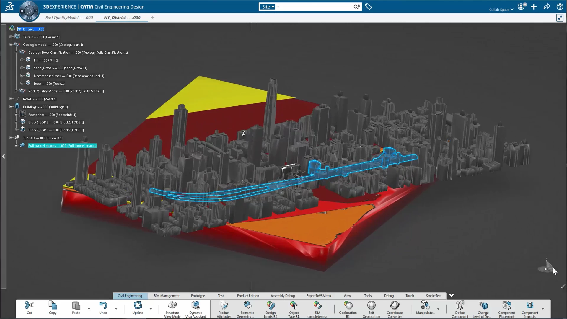
3DEXPERIENCE GEOVIA provides the tools you need to create virtual twins of the earth’s surface, subsurface, and infrastructure through which you can run nearly limitless scenarios to visualize and analyze your assets and processes, test your ideas, and explore the impact of your decisions.
The result: Well-thought-out, well-founded decisions that both improve operational efficiency and optimize resource use.

Explore the Disciplines
DISCIPLINE
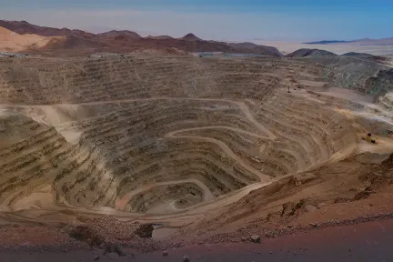
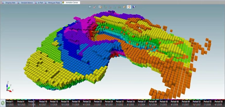
Mine Planning & Design
Transform geological data into actionable, value-optimized mining plans.
DISCIPLINE
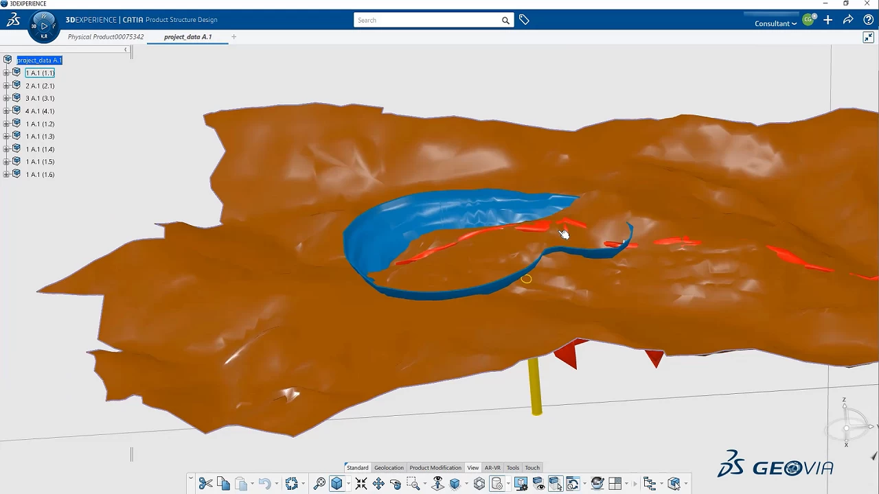
Geology
Geology Solutions for Mining and Beyond

DISCIPLINE
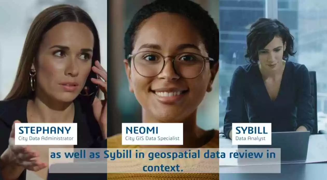
Geospatial Intelligence
Process and analyze geospatial data in context

DISCIPLINE
Geospatial Modeling
Model and collaborate to reimagine our natural and built environment..
3DEXPERIENCE GEOVIA software products are packaged as Roles to get you up to speed faster and work more efficiently with all needed applications available at your fingertips. Select a package that corresponds to your role in an organization.
Surpac Mine Designer

Pit Optimizer 2023x

Collaborative Designer for Surpac 2023x
City Data Engineer
Earth Engineering Coordinator
Mine Contributor
City Contributor
City Referential Manager
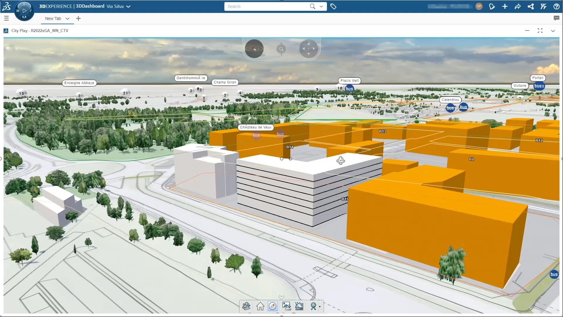
City Viewer
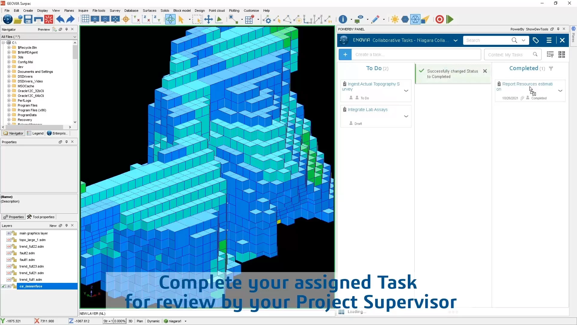
Collaborative Designer for Surpac
Conversion Data Integrator for OMF
What’s New in 3DEXPERIENCE GEOVIA R2025x
In 3DEXPERIENCE R2025x, GEOVIA enhanced the VIRTUAL PLANET roles, delivering solutions spanning Geosciences, Earth Engineering and the Urban Environment.
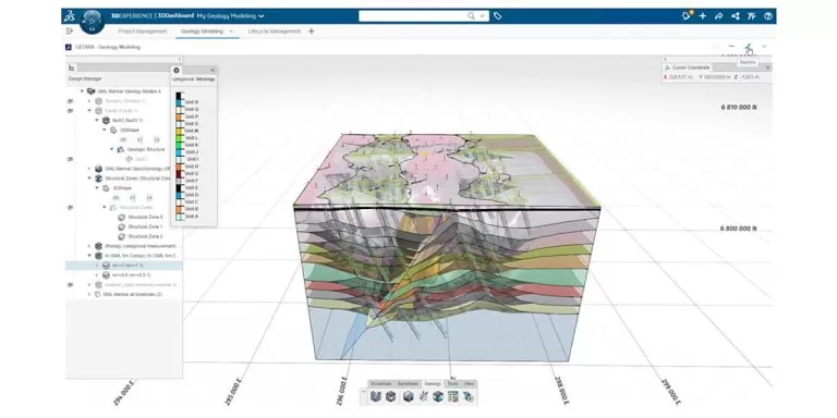
In Geosciences, subsurface geology modeling with the Geology Modeler role has focused on broadening the geological environment complexity that can be modeled. The accuracy of geology modeling is refined through localized faulting capabilities and additional control parameters from structural and contact point data. Many sedimentary style geology and mineral deposits can be precisely modeled enabled by advanced wash-out and pinch-out definition.
In Earth Engineering, mine design coverage has expanded with a new Underground Mine Designer role, aiding the practical and efficient design of underground development. Designers can save time through rapid updates when new data is available and increase optionality through the mine design process thanks to a parametric and data associativity approach.
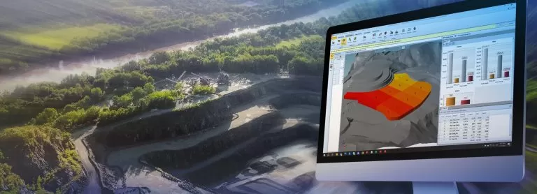
For surface mines, strategic mine planners with the Pit Optimizer and Strategic Mine Planner roles can evaluate multiple planning scenarios with ease, reducing time and effort to ensure the definition of the most appropriate mining plan. More comprehensive mining strategies can be targeted to incorporate sustainability variables and complex production variables through custom expressions. Seamlessly integrated with the Surface Mine Designer role, the planning and design process is transformed and elevated with new ramp design capabilities helping to maintain key safety, practicality, and financial requirements.
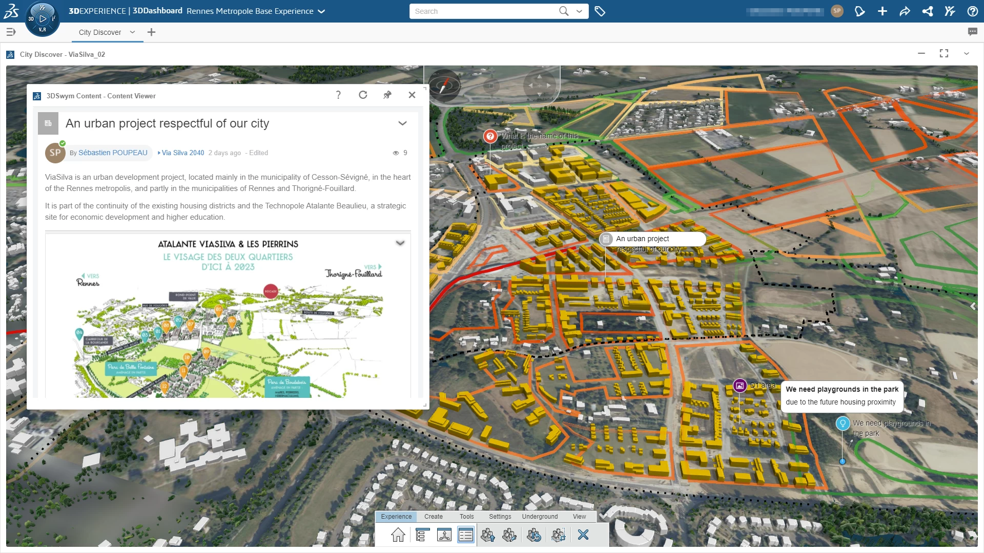
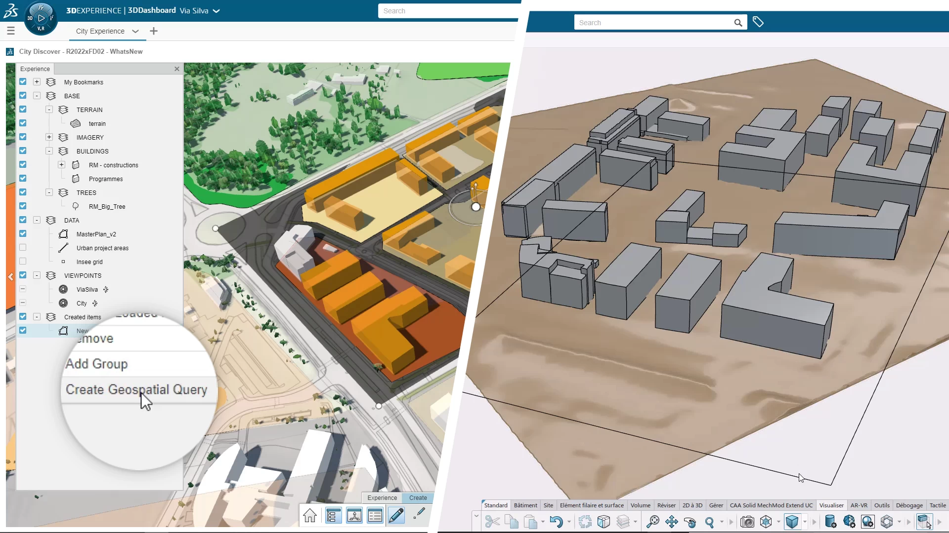
The Urban Environment solutions can now bring the scientific community and policy-makers closer together to tackle complex urban sustainability challenges through the experience of environmental simulation results in the context of the territorial virtual with the City Contributor role. The City Referential Manager role now enables seamless data navigation from large-scale to design-scale across all representations of a building model on the 3DEXPERIENCE platform. Construction-centric experiences can now utilize the IFC standard and navigate fully from geographic information to product lifecycle information.
Read Paramina Blogs
Optimizing Short-Term Mine Planning with DS GEOVIA MineSched
30 Years of Mining Experience
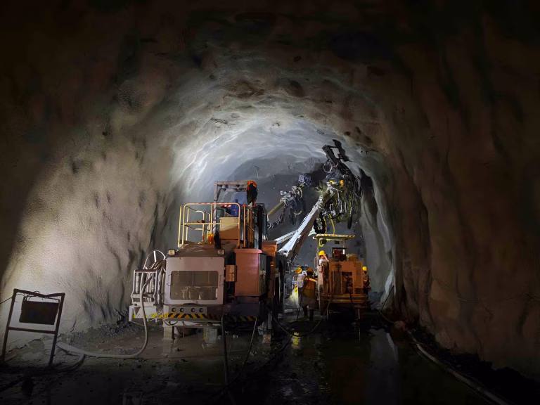
How to Choose the Right Underground Mining Contractor in the Philippines
Project Management in the age of big data for the Mining industry
Cutting Costs and Reducing Risks: The Digital Road to Operational Excellence
Paramina: Delivering World-Class Mining Solutions with Filipino Innovation
